Sunday 28 February 2016

Crofton Harbour and Seawall

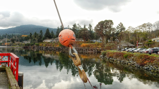
In mid-November, the autumn storms had not yet deprived the trees of their leafy colours. On this day, we drove down Island to see the autumnal sights of the Crofton area, knowing that the Crofton seawall was flat and would not put undue strain on our aging knees. This picture is taken from the government wharf and shows the seawall in the distance.

  • Location: 48°51'55.4"N, 123°38'20.9"W


Crofton wharf and seawall. (2015-11-14)

Friday 26 February 2016

Ladysmith - Boat Wreck along Dogpatch Trail

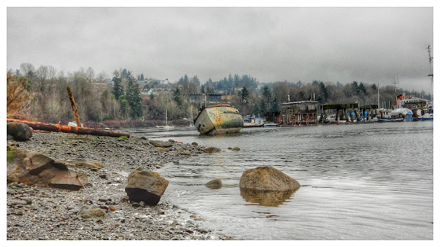
Valentine's Day and no rain. We were going out for lunch at the Crow and Gate Pub in Cedar but, not wanting to arrive in the middle of the noon rush, we opted for a stroll along Ladysmith's shore. In this case, we walked the trails that skirt Slag Point and lead, eventually, to the area known to mariners as Dogpatch. Seemingly, this is a place where decrepit boats go to die.

  • Location: 48°59'41.8"N, 123°48'30.5"W

Beach along Dogpatch Trail in Ladysmith (2016-02-14)

Sunday 21 February 2016

Silva Bay - Boats at anchor

With summer drawing to a close and Barb and Sean in possession of new kayaks, a shakedown cruise (paddle) was in order. Prior to owning their own craft, Barb and Sean had paddled any number of locations around Nanaimo. I thought, for this first venture in their new kayaks, we'd try something a bit more "exotic". A Silva Bay launch, with paddling betwixt the Flat Top Islands was today's agenda. Here <CLICK!>, a photo in the Silva Bay moorage.

  • Location: 49°08'54.9"N, 123°41'42.6"W


Silva Bay, Gabriola Island (2014-08-30)

Wednesday 17 February 2016

Wickaninnish Beach - Driftwood

With the summer drawing to an end, Hanne, Ewald, Rosie and I found ourselves relaxing in the Long Beach area. On this day, we left our accommodation in Ucluelet to explore the beaches of the area. As always, the driftwood presents itself as an ideal photo subject.

  • Location: 49.014862° N, 125.674143° W


Driftwood on Long Beach (2016-09-16)

Cedar-by-the-Sea shore...

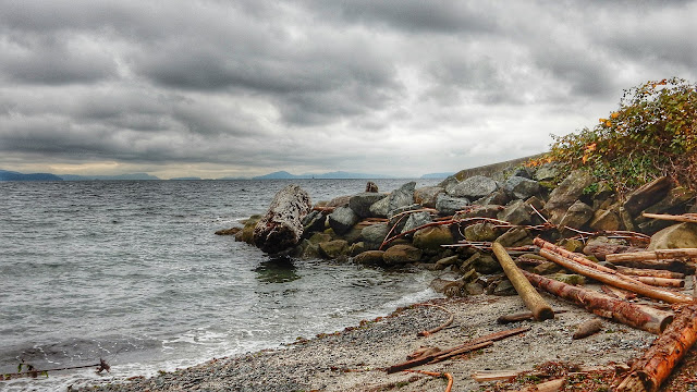
True to the title of this blog, today I really did find a "random" picture to post. In this case, I go back a few months to November when I wasn't sure where I wanted to take my walk. Without having a walk in mind, my meanderings to me to Cedar-by-the-Sea, a place we'd often launched our kayaks. Today was not a day for kayaking, but it was fun just exploring the shoreline.

  • Location: 49.115192° N, 123.805108° W

Cedar-by-the-Sea shore (2015-11-10)

Sointula - Dockside Details...

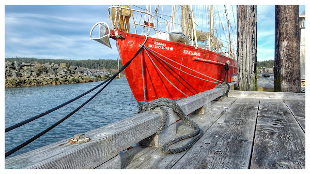
I'm easily attracted to dockside details. Today (February 9, 2016) we spent quite a bit of our morning strolling the docks of Sointula. As we passed this sailboat, Hanne drew my attention to the pattern of the ropes converging at the hull. She was right, it was worth a snapshot.

  • Location: 50.639757° N, 127.031280° W

Sointula dockside details (2016-02-09)

Sunday 14 February 2016

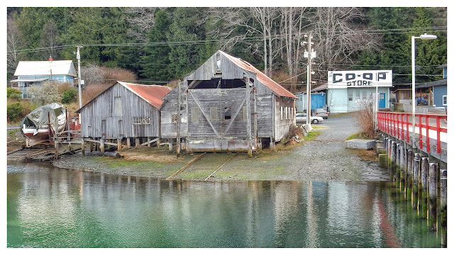
As part of our visit to Sointula, we took a side trip to the Regional Park at Bere Point. Arriving at the parking lot, we had a terrific view of the snow-capped mountains of the British Columbia mainland.

  • Location: 50.665488° N, 127.052092° W

Bere Point Regional Park (2016-02-09)

Friday 12 February 2016

Sointula - Historic Shoreline

The shore around Malcolm Island (Sointula) is dotted with relics of an active nautical history.
  •  Location: 50.639863° N, 127.029997° W

Sointua shore (2016-02-09)