Sunday 30 August 2020

Sandstone off Madrona Drive

Our drive today (2020-06-09) took us to the sandstone shore off Madrona Drive. This peninsula has Craig Bay to the north and Northwest Bay to the south. 

Peninsula off Madrona Drive (2020-06-09) 


Saturday 22 July 2017

Nanaimo - Winchesea Place View

Six years ago we were driving around the north end of Nanaimo, exploring parks and possible beach accesses. We hit a bit of a dead end at Winchelsea Place, with room for a few parked cars. A little exploration revealed anglers, perched precariously on the cliff just below the parking. I'm not an angler, but am partial to a good view. (2011-07-22)

View from Winchelsea Place... 

Thursday 20 July 2017

Nanaimo - Urban Deer

I liked the last post's randomness - hardly random at all, really; checking out what I'd seen on this date in previous years. I liked what I saw in the archives for July 21. Six years ago, driving around the streets of north Nanaimo, I saw a number of the city's urban deer. In this picture, a buck shows me his good side. (2011-07-21)

Nanaimo's urban deer...

Nanaimo - Colliery Dam Park

For this post, I'm once again interpreting the term "random" rather loosely. My previous post featured a bit of a path leading to a Piper's Lagoon beach. Curious, I wondered what other interesting photos of paths I have in my archive. I opted for the picture below, taken in the Colliery Dam Park (2017-03-27). The picture illustrates how well maintained the paths and trails through this park are.

Well-maintained path in Colliery Dam Park...

Nanaimo - Piper's Lagoon

This post is a bit of a departure from the regular "random" picture. Instead, I had this idea that I'd examine what I was doing on this date - July 20 - a few years ago. The picture that caught my eye was from 2014. On this day I was at Piper's Lagoon Park. This picture departs from the "typical" photos taken at the park; larger stretches of beach. Here I am at the end of the path that leads from the parking lot. A narrow path leads to a rocky beach.

Piper's Lagoon - path leading to rocky beach...

Chemaimus - Stocking Creek Park

Today's (2016-08-29) random post features a view of Stocking Creek. I'm not sure exactly how I decided to explore this park; it wasn't part of our regular walking repertoire. It's quite likely that I had just scanned Google Maps and spotted a park unknown to me. It was August and, clearly, the summer season saw the creek running quite low; low and calm enough to provide me with a photograph with reflections.

Stocking Creek Park...

Monday 17 July 2017

Mount Washington - Cheeky Whisky Jack

Killing several birds with one stone (OK, a really, really bad metaphor for this post), we took Heiko and Wiebke sightseeing up island and managed to pick Barb and Sean up at the Little River ferry terminal as well. Then (2010-08-28), all of us (how we all fit into the van, I don't know) continued on our touristy ways up to Mount Washington. On our Paradise Meadows Loop walk, we were attacked - in a most pleasant but super surprising way - by numerous Grey Jays (Whisky Jacks, Canada Jays). Fun was had, feeding their greedy appetites.

Canada Jay (Whisky Jack, Grey Jack)...

Alberni Valley - McLean Mill National Historic Site

Ewald and Rosie had made the trip across the Atlantic for a very special birthday. Of course, they also had time for some Vancouver Island sightseeing. On this day (2015-09-07), we took them out to the McLean Mill National Historic Site. There's plenty for tourists to see; unfortunately, by this date in September, the most excellent "show" was already closed for the season. Of course, it's also a playground for rust-obsessed photographers.

Rusty artefact at the McLean Historic Steam Sawmill...

Sunday 16 July 2017

North Vancouver - Lynn Canyon

Although Erich and the Frankfurter IT Guy were really only visiting Vancouver Island, it would have been a real missed opportunity for them had they not taken at least a day tour of Vancouver. So here we are (2013-04-13), in North Vancouver's Lynn Canyon. As can be seen in the picture, it was wet out for our stroll over the suspension bridge and along the park's trails.

The Lynn Creek in North Vancouver...

Anacortes - Classic brick building

Just days ago we had bought our new car. It was April (2011-04-18), and we'd always promised ourselves a trip to Washington State to visit the tulip festival. So, off we went; Victoria, ferry to Port Angeles, and, eventually, to the Skagit Valley. As part of our journey, we stopped off in Anacortes. Here, this brick building caught my eye: CLICK!

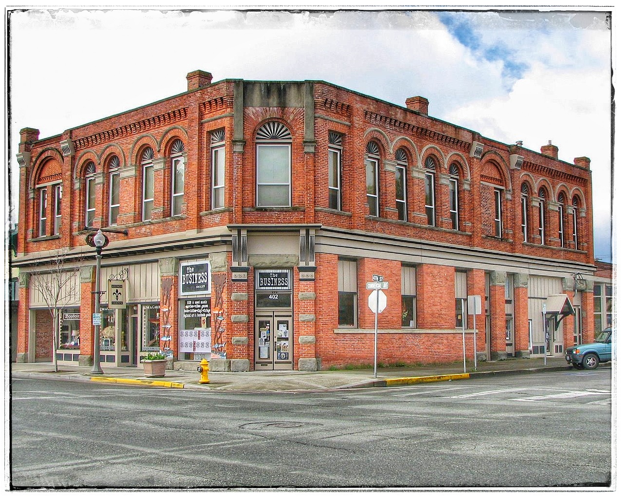
Brick building in Anacortes...

Nanaimo - Neck Point

On this June (2015-06-04), I'm on one of my many - very many - visits to Neck Point. Here I've come up a set of stairs to the platform that has a view of the spit of land that constitutes the "neck" point.

Stairs and platform in Neck Point Park...

Friday 14 July 2017

Ucluelet - Wickaninnish Beach

Today BKR generated our random selection. This selection takes us to Wickaninnish Beach, near Ucluelet. On this visit (2013-08-21) we were showing Marco and Angela the beauty of Pacific Rim National Park.

Kwisitis Visitor Centre at Wickaninnish Beach...

Newcastle Island Blue Heron

Using Hanne as my "random" generator, this photo of a Blue Heron on the shores of Newcastle Island was selected. While kayaking on this date (2010-05-08), we came across quite a few heron in the area along the Newcastle-Protection Islands gap.

Blue Heron on Newcastle Island

Tuesday 1 March 2016

Quadra Island - British Columbia Ferry, MV Tenaka

This April we stayed at the iconic Heriot Bay Inn. Just meters away is the BC Ferries terminal.

BC Ferry Tehama (2010-04-21)

Departure Bay, British Columbia

Over the last few years, I've travelled between Vancouver and Nanaimo on a fairly regular basis, becoming quite familiar with the Horseshoe Bay shore. Waiting for the ferry, I've spent considerable time walking the shore and the docks. On this beautiful July day, the flag of British Columbia was set off nicely by a summer blue sky.

  • Location: 49°22'28.7"N, 123°16'23.5"W

Flag of British Columbia in Horseshoe Bay. (2014-07-29)

Sunday 28 February 2016

Crofton Harbour and Seawall

In mid-November, the autumn storms had not yet deprived the trees of their leafy colours. On this day, we drove down Island to see the autumnal sights of the Crofton area, knowing that the Crofton seawall was flat and would not put undue strain on our aging knees. This picture is taken from the government wharf and shows the seawall in the distance.

  • Location: 48°51'55.4"N, 123°38'20.9"W


Crofton wharf and seawall. (2015-11-14)

Friday 26 February 2016

Ladysmith - Boat Wreck along Dogpatch Trail

Valentine's Day and no rain. We were going out for lunch at the Crow and Gate Pub in Cedar but, not wanting to arrive in the middle of the noon rush, we opted for a stroll along Ladysmith's shore. In this case, we walked the trails that skirt Slag Point and lead, eventually, to the area known to mariners as Dogpatch. Seemingly, this is a place where decrepit boats go to die.

  • Location: 48°59'41.8"N, 123°48'30.5"W

Beach along Dogpatch Trail in Ladysmith (2016-02-14)

Sunday 21 February 2016

Silva Bay - Boats at anchor

With summer drawing to a close and Barb and Sean in possession of new kayaks, a shakedown cruise (paddle) was in order. Prior to owning their own craft, Barb and Sean had paddled any number of locations around Nanaimo. I thought, for this first venture in their new kayaks, we'd try something a bit more "exotic". A Silva Bay launch, with paddling betwixt the Flat Top Islands was today's agenda. Here <CLICK!>, a photo in the Silva Bay moorage.

  • Location: 49°08'54.9"N, 123°41'42.6"W


Silva Bay, Gabriola Island (2014-08-30)

Wednesday 17 February 2016

Wickaninnish Beach - Driftwood

With the summer drawing to an end, Hanne, Ewald, Rosie and I found ourselves relaxing in the Long Beach area. On this day, we left our accommodation in Ucluelet to explore the beaches of the area. As always, the driftwood presents itself as an ideal photo subject.

  • Location: 49.014862° N, 125.674143° W


Driftwood on Long Beach (2016-09-16)

Cedar-by-the-Sea shore...

True to the title of this blog, today I really did find a "random" picture to post. In this case, I go back a few months to November when I wasn't sure where I wanted to take my walk. Without having a walk in mind, my meanderings to me to Cedar-by-the-Sea, a place we'd often launched our kayaks. Today was not a day for kayaking, but it was fun just exploring the shoreline.

  • Location: 49.115192° N, 123.805108° W

Cedar-by-the-Sea shore (2015-11-10)

Sointula - Dockside Details...

I'm easily attracted to dockside details. Today (February 9, 2016) we spent quite a bit of our morning strolling the docks of Sointula. As we passed this sailboat, Hanne drew my attention to the pattern of the ropes converging at the hull. She was right, it was worth a snapshot.

  • Location: 50.639757° N, 127.031280° W

Sointula dockside details (2016-02-09)

Sunday 14 February 2016

As part of our visit to Sointula, we took a side trip to the Regional Park at Bere Point. Arriving at the parking lot, we had a terrific view of the snow-capped mountains of the British Columbia mainland.

  • Location: 50.665488° N, 127.052092° W

Bere Point Regional Park (2016-02-09)

Friday 12 February 2016

Sointula - Historic Shoreline

The shore around Malcolm Island (Sointula) is dotted with relics of an active nautical history.
  •  Location: 50.639863° N, 127.029997° W

Sointua shore (2016-02-09)

Wednesday 26 August 2015

Ucluelet - Wild Pacific Trail

Before chercking in at the Cabins at Terrace Beach, we decided to check out the Wild Pacific Trail. Here we are, looking out over the Pacific as swells crash on jagged rocks. (2015-08-14)


Ucluelet - Wild Pacific Trail

Comox - Goose Spit Park view...

Having finished our walk around the Comox Marina, we wondered, "What is that spit in the distance?". We pointed the car in the general direction, and ended up here, at Goose Spit Park.

  • Location: 49°39'46.4"N 124°54'17.7"W


Comox - Goose Spit Park view

Comox - Fisherman's Wharf Boardwalk

After dropping Roy off in Courtenay, we opted for some sightseeing in Comox. Here we are at the Fisherman's Wharf Boardwalk.


Fisherman's Wharf Boardwalk in Comox

Saturday 11 April 2015

Nanaimo - Cottle Lake Cormorants

I hadn't been to Cottle Lake for quite some time, so it was nice to be able to take advantage of the nice weather to have another look around. Among other things, I spotted these cormorants. I've frequently seen cormorants while kayaking on salt water, but seeing them quite at home on fresh water was new to me. (2015-02-05)

Nanaimo - Cottle Lake Cormorants

Sunday 5 April 2015

Ucluelet - Fish processing plant

We've come to this Ucluelet dock to see if the sea lions were active on this day (2014-02-01). They were, but just barely.

  • Location: 48.939, -125.538

Ucluelet - Fish processing plant

Wednesday 25 March 2015

Victoria - One Of The Busiest Floatplane Harbours Anywhere

For a change, on our recent visit to Victoria, we crossed the "Blue Bridge" to explore the Songhees side of the harbour. We'll need to do it again, when the weather's a bit warmer. The picture below: seen from the Songhees Shore of Victoria, BC.

Location: 48.429, -123.384
Date: 2015/02/07

Victoria - One Of The Busiest Floatplane Harbours Anywhere

Nanaimo - Late Summer Colours On Newcastle Island

An August kayaking trip took Alex and me to Newcastle Island where the low tide required a bit of a walk from the water's edge. Once above the high-water mark, the island showed the classic late summer Gulf Island palette.

  • Location: 49.181940, -123.927464
  • Date: 2014/08/10


Nanaimo - Late Summer Colours On Newcastle Island